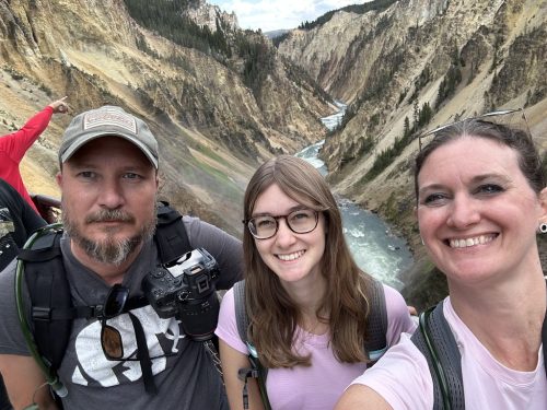
We visited Mackinac Island in July 2026, on a day trip from St. Ignace during our Oshkosh or Bust RV road trip.
Stefan took Monday off, so we did what just about everyone in St. Ignace does at least once: we caught a mid-morning Arnold ferry over to Mackinac Island. We walked, we ate fudge, we saw a lot of horses. And then we took the wrong ferry home. Here’s everything we learned, plus what we looked up afterward, so your first trip goes a little smoother than ours.
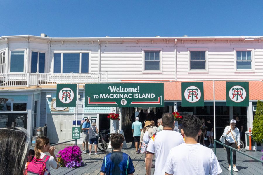
Mackinac Island at a Glance
- Where: in Lake Huron, in the Straits of Mackinac between Michigan’s two peninsulas
- Say it: MACK-in-aw, even though it ends in a C (more on that in our St. Ignace post)
- Size: about 8 miles around, and more than 80% of it is state park
- Year-round population: about 600
- Cars: none, banned since 1898
- Getting there: ferry from St. Ignace or Mackinaw City, late April through October
- Camping: not allowed on the island, so RVers base on the mainland like we did. We stayed at the St. Ignace/Mackinac Island KOA Holiday.
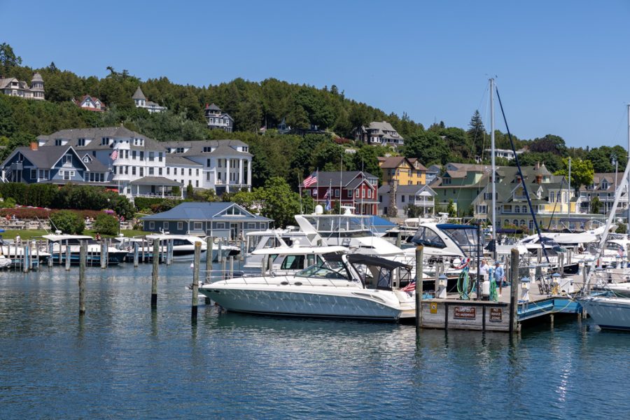
Getting There
Two ferry lines, Arnold Transit and Shepler’s, run to the island from both St. Ignace and Mackinaw City. In season, boats leave about every 30 minutes, and as often as every 15 at peak times. A direct crossing takes about 16 minutes. Some sailings swing under the Mackinac Bridge for the view, which adds about 10 minutes. (Crossing it by RV is its own adventure: Crossing the Mackinac Bridge in an RV.) You don’t need a reservation. Dogs ride free if they’re leashed or crated, and you can bring your own bike for a fee.
We took Arnold’s from St. Ignace. Our campground, the St. Ignace KOA, runs a free shuttle to the docks from its front office, and the ride takes about five minutes. We took it because we thought parking at the docks might be a hassle. It wouldn’t have been, but the shuttle meant one less thing to think about. If you’re staying somewhere else, plan on paying for parking at the ferry dock. Tickets were $34 per person.
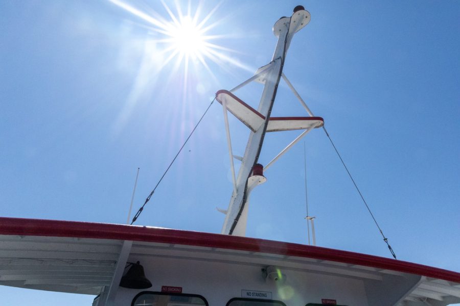
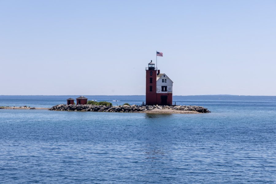
Getting Around
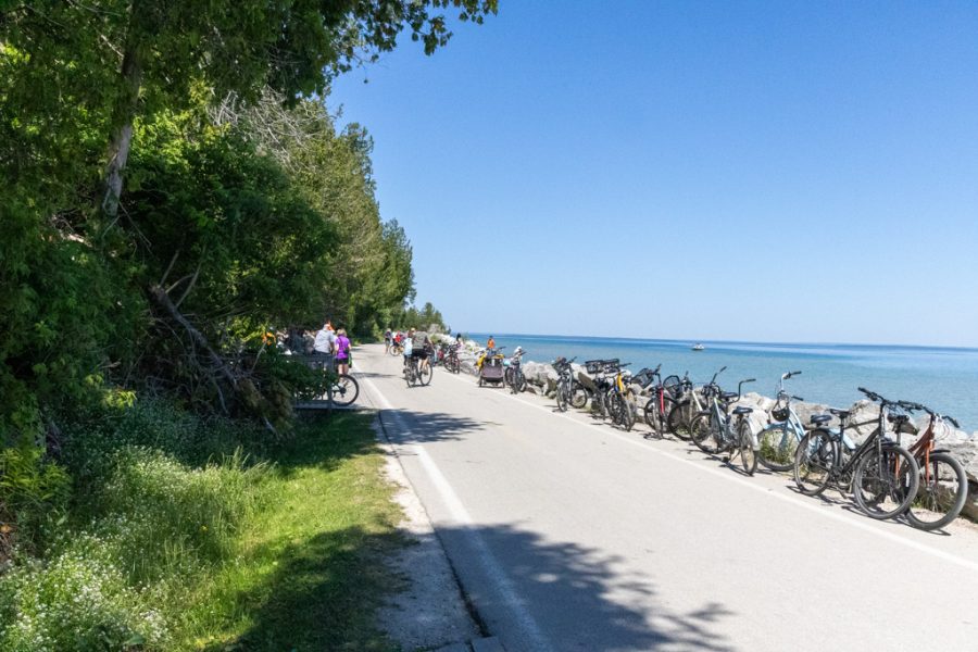
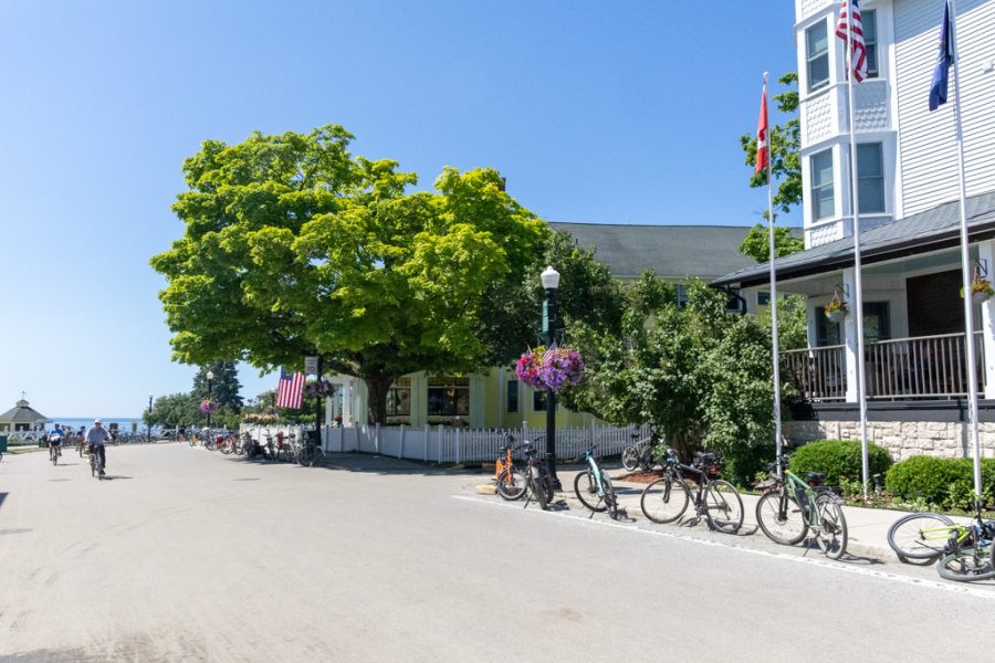
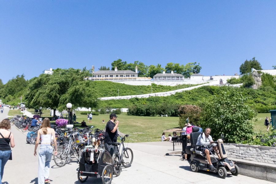
You walk, bike or go by horse. Several shops rent everything from single-speed cruisers to tandems and kid trailers, and a leisurely bike loop around the island takes 60 to 90 minutes. E-bikes are generally not allowed. Horse-drawn taxis will take you where you need to go, and carriage tours are a popular way to see the sights without tackling the hills. We did it all on foot. All in, we walked about two to three miles.
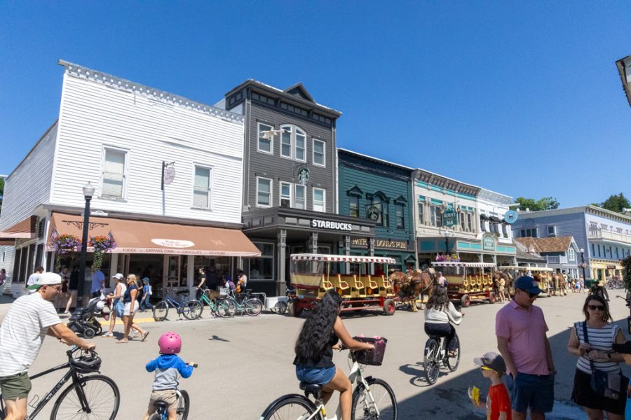
An Island Without Cars
Mackinac Island has banned motor vehicles since 1898, after carriage drivers complained that the new automobiles were spooking their horses. More than 80% of the island is state park. It was actually the country’s second national park, back in 1875, before it was handed over to Michigan in 1895. The Ojibwe name, Mishimikinaak, means “Great Turtle.”
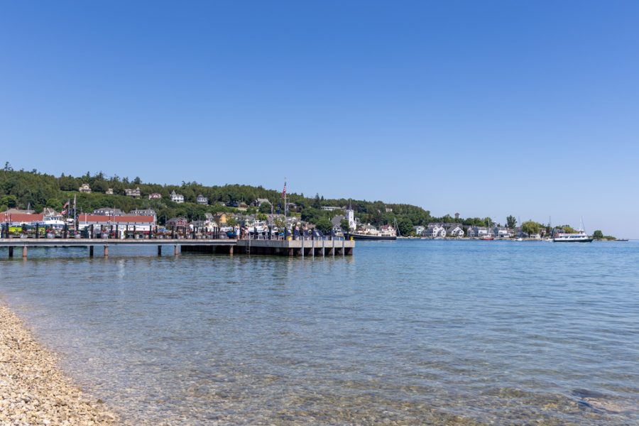
What struck us most wasn’t the Victorian storefronts. It was that people actually live here. Groceries, luggage, building supplies: it all moves by horse-drawn wagon. And somebody has to clean up after all those horses, so there’s a street-sweeper carriage making the rounds for exactly that.
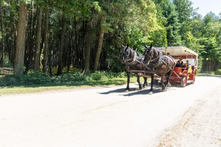
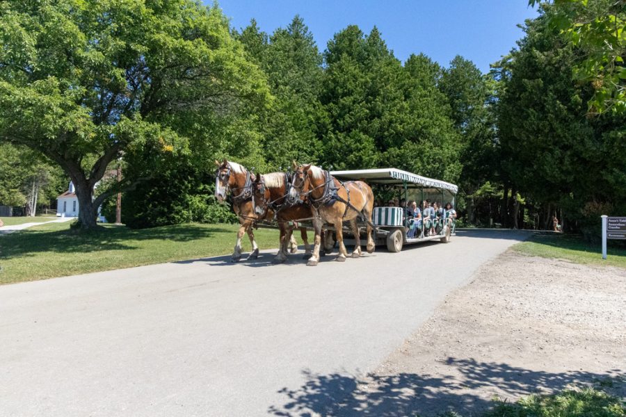
Only about 600 people live on the island year-round, and tens of thousands of visitors pour in between May and October. The road that circles the island, M-185, is about 8 miles long and is the only state highway in the country where motor vehicles are banned. You walk it, bike it or ride a horse on it, and since 2024 it even has a 15 mph speed limit. Horse-drawn taxis stand in for cabs, and roadside litter gets picked up by horse-drawn wagon, too.
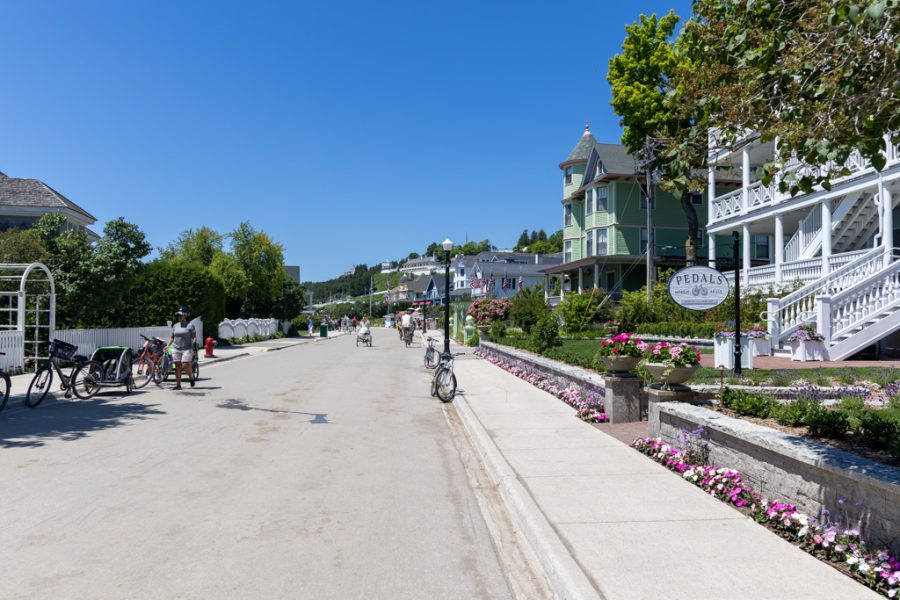
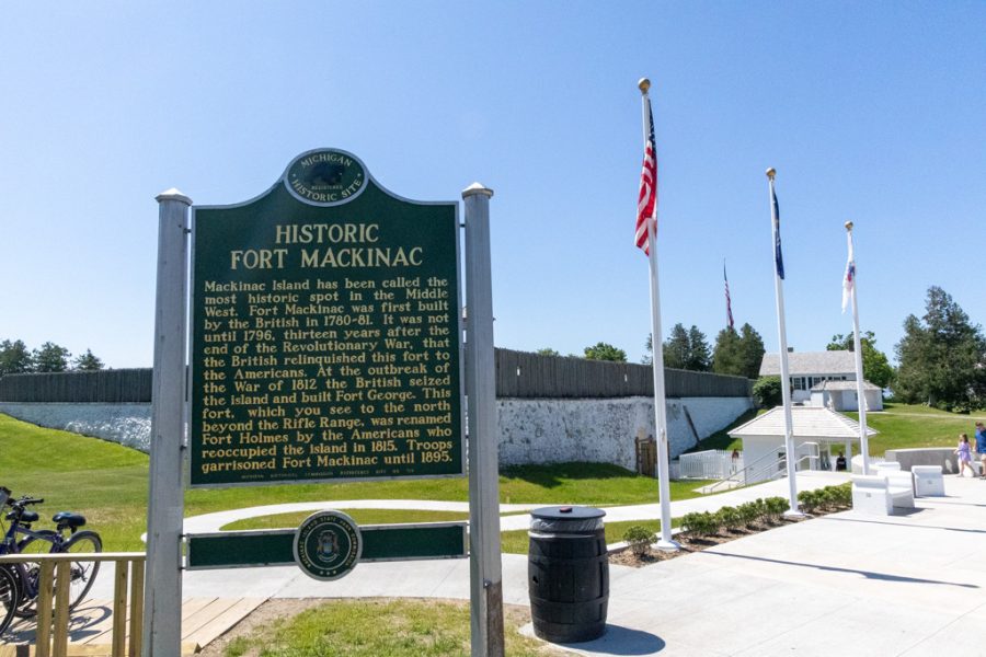
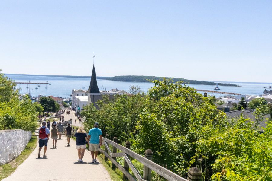
Up on the bluff above the harbor sits Fort Mackinac, built by the British in 1780. In July 1812 the British took it back from the Americans in the very first battle of the War of 1812, and it didn’t return to the U.S. until after the war. We just admired it from the outside.
The Walk to Arch Rock
We walked up Fort Street to Huron Road, then followed the path to Arch Rock. It’s a natural limestone arch sitting 146 feet above Lake Huron. Alexis de Tocqueville passed through in 1831 and called it the “Giant’s Arch,” and it was one of the reasons the island became a national park in the first place. Long before that, Native people saw Arch Rock as a place of spiritual power and told many stories about it. You can look up at it from the shore road just past the mile 1 marker, or come at it from the top via Arch Rock Road.
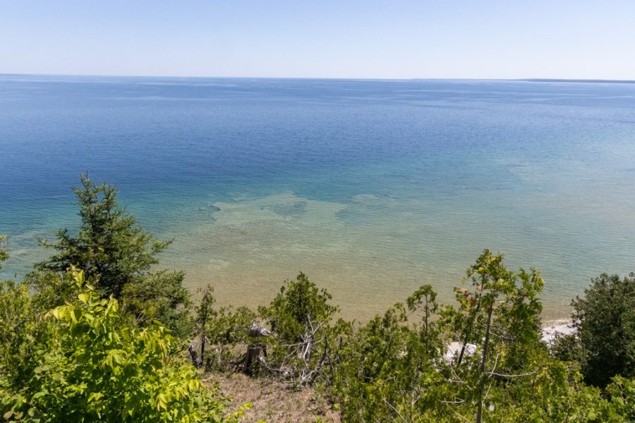
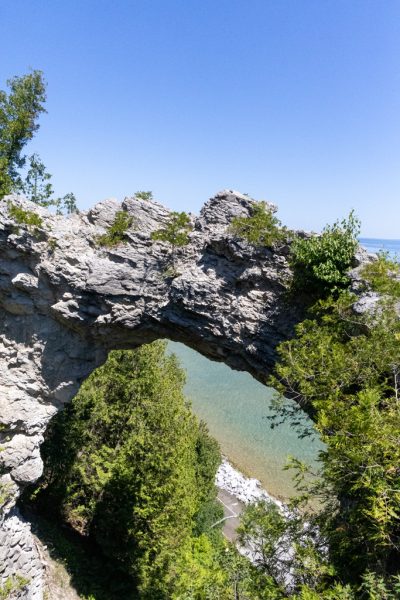
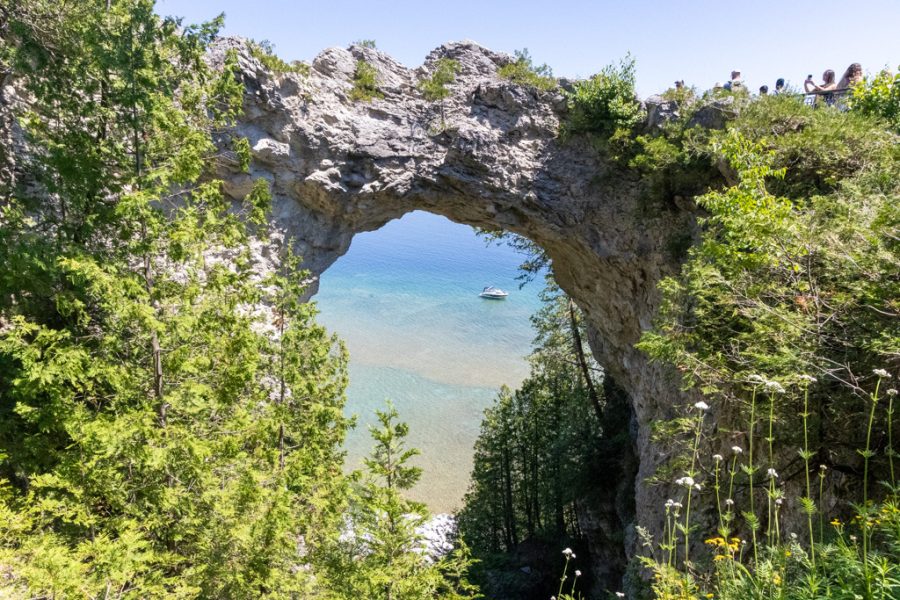
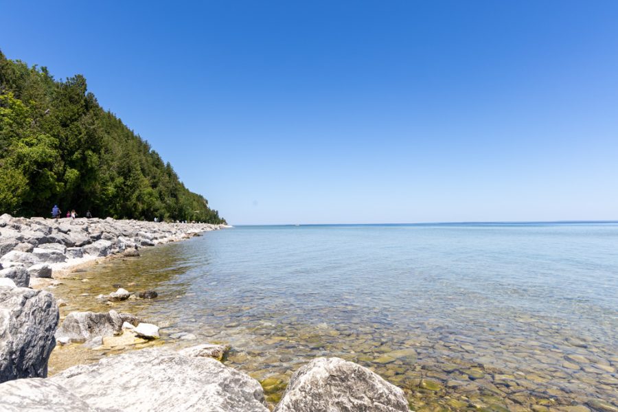
Seeing it in person was great. There were quite a few people, so we had to wait in line for a minute to get onto the viewing platform next to the arch. It’s a cool formation, and with that blue water showing through it, it’s hard to believe you’re in Michigan and not somewhere tropical.
From the arch we took the stairs down to the shore road (M-185) and walked back toward town along the water. Along the way we checked another one off our list: we dipped our toes in Lake Huron. Then we walked back past Mission Point Resort, looking up at Robinson’s Folly, the limestone bluff above Mission Point, on the way into town.
The Grand Hotel (From the Outside)
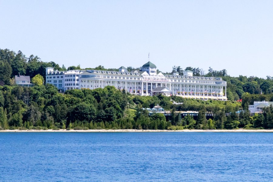
We made it to the Grand Hotel too, and that’s about as far as we got. It opened in 1887 after just 93 days of construction, and its front porch runs about 660 feet. It’s billed as the longest porch in the world. Movie buffs might know it from Somewhere in Time (1980). Non-guests pay an admission fee just to step onto the grounds and the famous porch, and we decided our money was better spent on fudge. It’s still something to see from the road.
More to See
We only scratched the surface in a day. If you have more time (or more energy than we did), here’s what else is on the island:
- Fort Mackinac and Historic Downtown. A fort ticket also gets you into the historic downtown buildings, including the Biddle House, the American Fur Co. Store & Dr. Beaumont Museum and the Richard & Jane Manoogian Mackinac Art Museum.
- Fort Holmes. The island’s highest point, about 320 feet above the lake. The British built it as Fort George after taking the island in 1812.
- British Landing. Where the British came ashore in 1812, and now a favorite stop for cyclists and hikers.
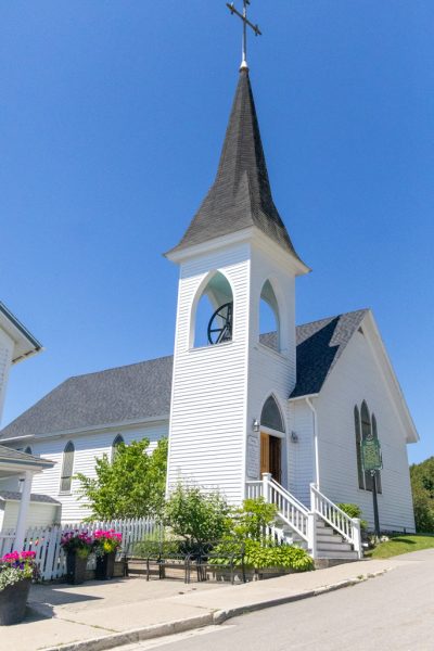
- Mission Church. Built in 1829, it’s the oldest surviving church building in Michigan.
- Sugar Loaf and Skull Cave. Two more of the island’s limestone formations.
- Surrey Hill. A carriage museum, blacksmith shop and butterfly house.
- Wawashkamo Golf Club. Laid out in 1898, it’s the oldest continuously played golf course in Michigan.
The Fudge
Tourists up here are called “fudgies,” and we earned the title. Downtown shops make about 10,000 pounds of fudge a day in season, and it felt like we sampled a good share of it. We worked our way through Ryba’s, Murray Hotel, JoAnn’s, Sanders, Murdick’s and Kilwins. Sanders won. We left with rocky road, cherry and plain.

The Wrong Ferry
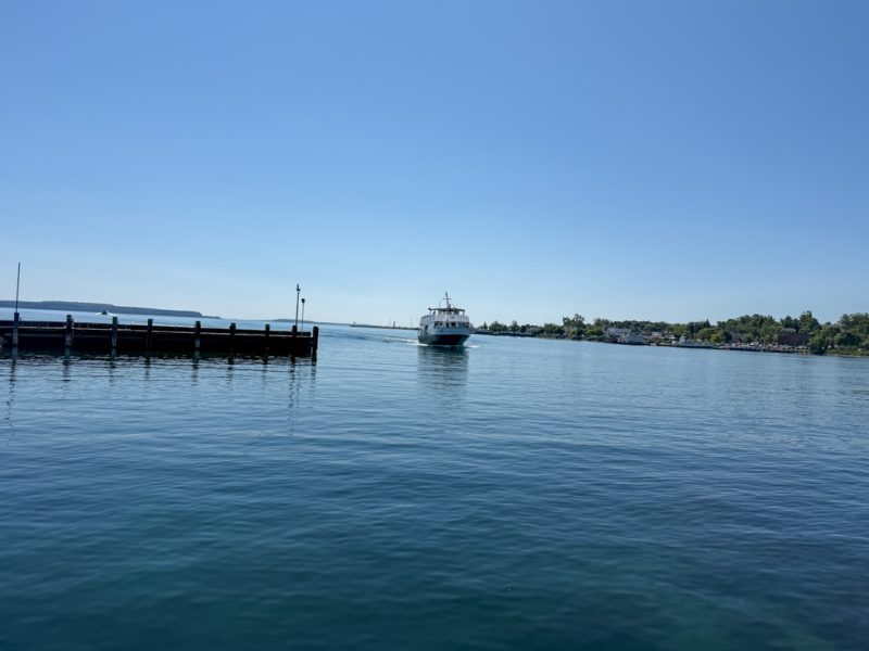
By late afternoon we were tired and hungry, and we’d hoped to eat at the Pink Pony, but the wait was too long, and it was the same story just about everywhere else on the island. So we figured we’d head back to the mainland and eat there. We hopped on the next Arnold ferry and settled in.
The ferry pulled out and veered left. St. Ignace was to the right. Then our view of the Mackinac Bridge started to change, and not in the direction we needed. We were on the boat to Mackinaw City, on the other side of the bridge.
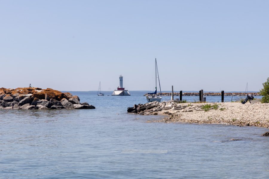
Uber isn’t exactly thick on the ground up here. But one driver accepted our ride and let us know he was in the bathroom. About 15 minutes later he pulled up. He’d just driven someone up from Traverse City and was happy to grab one more fare before heading back south. Nice guy. He took us across the bridge and back to St. Ignace, and we ended up eating at home in the RV.
When to Go
Ferries run late April through October, and summer is peak season. We went in summer, and it was busy, with people everywhere. The Lilac Festival has been held every June since 1949 and wraps up with a horse-drawn parade. In winter the ferries stop and the Grand Hotel closes. Islanders get around by snowmobile, and when the Straits freeze, they cross to the mainland on an “ice bridge.” (More on events across the water in St. Ignace, from the car show to the Labor Day Bridge Walk, in our St. Ignace post.)
Tips for Your Own Day Trip
- Check where your ferry is going before you board. Ferries run from the island to both St. Ignace and Mackinaw City, about every 30 minutes in season and more often at peak times.
- Staying in St. Ignace? Ask your campground about a ferry shuttle. Ours, the KOA, ran a free one to the docks.
- Eat earlier than you think, or pack snacks. Dinner waits get long.
- Wear comfortable shoes. With no cars, you’re walking or biking.
- Decide on the Grand Hotel ahead of time. Non-guests pay to go in.
- Bring a bag for fudge. You’ll need it.
- Bringing the dog? Dogs ride the ferry free, leashed or crated.
- Watch where you step. It’s a horse town.
Have you been to Mackinac Island? Tell us your favorite fudge shop in the comments!

Free printable
The Simpler Way RV Trip Planner
The same pages we use to plan every route: stops, drive days, budgets and campground notes. Grab it free: